EMODnet Human Activities, Oil and Gas, Wells
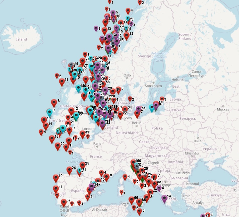
The dataset on offshore wells for Oil and Gas industry activities in the EU was created in 2014 by Cogea for the European Marine Observation and Data Network (EMODnet). It is the result of the aggregation and harmonization of datasets provided by several EU and non-EU sources. It is updated every year, and is available for viewing and download on the EMODnet web portal (Human Activities, https://emodnet.ec.europa.eu/en/human-activities). It contains points representing offshore wells drilled in the following countries: Croatia, Cyprus, Denmark, Faroe Islands, France, Germany, Greece (only for western coast), Ireland, Italy, Latvia, Malta, Montenegro, Netherlands, Norway, Poland, Portugal, Spain, and United Kingdom. Where available each point has the following attributes: status (active, abandoned, other, suspended, N/A), country, code, name, year (spud date), purpose (exploitation, exploration, other), content (crude oil, natural gas, crude oil and natural gas, natural gas and crude oil, dry, other), operator, drilling company/facility, distance to coast (metres) and water depth (metres). Compared with the previous version this new version has been updated for most of the countries that have published or sent their last release of data.
Simple
- Date (Publication)
- 2014-04-04
- Date (Revision)
- 2025-07-04
- Date (Creation)
- 2014-03-27
- Citation identifier
- EMODnet_HA_OG_Wells_20250704
- Point of contact
-
Organisation name Individual name Electronic mail address Role Cogea Srl
Author Faroe Islands - Jarðfeingi - Faroese Geological Survey
Resource provider Ireland - Department of Climate, Energy and the Environment
Resource provider Malta - Ministry for Finance - Continental Shelf Department
Resource provider Croatia - Croatian Hydrocarbon Agency
Spain - Ministry for the Ecological Transition and the Demographic challenge - Energy - Archivo Técnico de Hidrocarburos
Resource provider Montenegro - Geological Survey of Montenegro
Resource provider Poland - Polish Geological Institute - National Research Institute
Resource provider Latvia - Latvian Environment, Geology and Meteorology Centre
Resource provider Norway - Norwegian Petroleum Directorate
Resource provider Netherlands - TNO - Geological Survey of the Netherlands
Resource provider Germany - Landesamt fur Bergbau, Energie und Geologie
Resource provider Denmark - Danish Energy Agency
Resource provider Greece - Ministry of Environment, Energy and Climate Change
Resource provider Cyprus - Ministry of Energy, Commerce and Industry - Hydrocarbons Service
Resource provider Italy - Ministero dell'ambiente e della sicurezza energetica - Direzione generale infrastrutture e sicurezza (IS) - Ufficio nazionale minerario per gli idrocarburi e le georisorse (UNMIG)
Resource provider Portugal - Direção-Geral de Energia e Geologia
Resource provider UK - North Sea Transition Authority
Resource provider France - Direction Generale de l'energie et du Climat (DGEC) - Bureau de Recherches Geologiques et Minieres (BRGM) - Minergies
Resource provider
-
GEMET - INSPIRE themes, version 1.0
-
-
Energy resources
-
-
GEMET - Themes, version 2.4
-
-
energy
-
-
GEMET - Concepts, version 3.1
-
-
hydrocarbon
-
oil exploration
-
oil extraction
-
offshore drilling
-
oil production (chain)
-
petroleum industry
-
- Access constraints
- Other restrictions
- Other constraints
- No limitations on public access
- gmd:useconstraints
- otherRestrictions
- Other constraints
-
Creative Commons CC-BY 4.0 https://creativecommons.org/licenses/by/4.0/
- gmd:useconstraints
- otherRestrictions
- Other constraints
-
This data was downloaded from the EMODnet Portal ( https://emodnet.ec.europa.eu/en/). The data originator is Cogea Srl.
- Spatial representation type
- Vector
- Denominator
- 100000
- Language
- English
- Topic category
-
- Utilities communication
))
- Reference system identifier
- EPSG:4326
- Reference system identifier
- ISO 19108 calendar
- Distribution format
-
Name Version Esri geodatabase Esri shapefile
- Transfer size
- 0
- OnLine resource
-
Protocol Linkage Name WWW:LINK
https://emodnet.ec.europa.eu/en/human-activities EMODnet Human Activities
WWW:DOWNLOAD
https://ows.emodnet-humanactivities.eu/geonetwork/srv/api/records/d16bc9d4-84eb-4713-87ff-d1d978616f0f/attachments/EMODnet_HA_OG_Wells_20250704.zip EMODnet_HA_OG_Wells_20250704.zip
OGC:WMS
https://ows.emodnet-humanactivities.eu/wms? hydrocarbons
OGC:WFS
https://ows.emodnet-humanactivities.eu/wfs? emodnet:hydrocarbons
- Hierarchy level
- Dataset
Conformance result
- Date (Publication)
- 2008-12-04
- Explanation
-
See the referenced specification
- Pass
- Yes
Conformance result
- Date (Publication)
- 2010-12-08
- Explanation
-
See the referenced specification
Conformance result
- Date (Publication)
- 2009-12-15
- Explanation
-
See the referenced specification
- Pass
- Yes
- Statement
-
Data were retrived from 18 different countries. Validation and quality assurance remain up to primary data sources, while harmonization is carried out by Cogea. The harmonisation process consisted of identifying a set of attributes common to all the different datasets, thus creating a single data model. To do so, it was necessary to define a homogenous set of variables for each attribute. Therefore, raw data attributes may use a different terminology, although the information contained remains basically the same. For further information on validation and quality assurance, it is suggested that primary data sources are contacted. Generally speaking data are to be considered very reliable, because they come from national sources officially in charge for their collection. The distance to coast (EEA coastline shapefile) has been calculated using the original data map projections, where available. In the other cases it was used the UTM WGS84 Zone projected coordinate system where data fall in.
Metadata
- File identifier
- d16bc9d4-84eb-4713-87ff-d1d978616f0f XML
- Metadata language
- English
- Character set
- UTF8
- Hierarchy level
- Dataset
- Date stamp
- 2025-09-02T09:20:39.626544Z
- Metadata standard name
-
ISO19115
- Metadata standard version
-
2003/Cor.1:2006
- Metadata author
-
Organisation name Individual name Electronic mail address Role Cogea Srl
Point of contact
Overviews
Spatial extent
Provided by
