EMODnet Human Activities, Fisheries, Fish catches by FAO statistical area
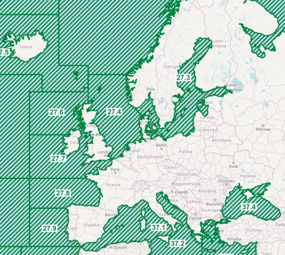
The dataset on fish catches in the European waters by FAO statistical areas was created in 2015 by Cogea for the European Marine Observation and Data Network (EMODnet). It is the result of the aggregation of EUROSTAT's fish catches datasets fish_ca_atl 27, fish_ca_atl 34, fish_ca_atl 37, fish_ca_atl271, fish_ca_atl272, fish_ca_atl34_h and fish_ca_atl37_h. It is available for viewing and download on EMODnet web portal (Human Activities, https://emodnet.ec.europa.eu/en/human-activities). EUROSTAT data have been related to FAO's georeferenced fishing areas (polygons) for statisticl purposes (FAO, 2020. FAO Statistical Areas for Fishery Purposes. In: FAO Fisheries and Aquaculture Department). Tonnes live weight is provided for each fish species caught (3-alpha code and english or scientific name if the english one is not available), by EUMOFA's larger aggregations such as EUMOFA's Commodity Groups and Main Commercial Species (see 'Species_Eumofa_ASFIS_2023' table), by year of reference and country (code and name). The dataset is updated yearly and it covers a time series from 1950 to 2021, where available. Compared with the previous version this new one's schema have been updated.
Simple
- Date (Publication)
- 2015-01-16
- Date (Revision)
- 2023-09-26
- Date (Creation)
- 2015-01-16
- Citation identifier
- EMODnet_HA_Fish_Catches_20230926
- Point of contact
-
Organisation name Individual name Electronic mail address Role Cogea Srl
Author FAO
Resource provider EUROSTAT
Resource provider
-
GEMET - INSPIRE themes, version 1.0
-
-
Agricultural and aquaculture facilities
-
-
GEMET - Concepts, version 2.4
-
-
fishery
-
- Spatial representation type
- Vector
- Language
- English
- Topic category
-
- Economy
))
- Begin date
- 1950-01-01
- End date
- 2016-12-31
- Access constraints
- Other restrictions
- Other constraints
- No limitations on public access
- gmd:useconstraints
- otherRestrictions
- Other constraints
-
Creative Commons CC-BY 4.0 https://creativecommons.org/licenses/by/4.0/
- gmd:useconstraints
- otherRestrictions
- Other constraints
-
This data was downloaded from the EMODnet Portal ( https://emodnet.ec.europa.eu/en/). The data originator is Cogea Srl.
- Reference system identifier
- EPSG:4326
- Reference system identifier
- ISO 19108 calendar
- Transfer size
- 0
- OnLine resource
- Distribution format
-
Name Version Esri geodatabase gco:nilReason="unknown"> Esri shapefile gco:nilReason="unknown">
- Hierarchy level
- Dataset
Conformance result
- Date (Publication)
- 2008-12-04
- Explanation
-
See the referenced specification
Conformance result
- Date (Publication)
- 2009-12-15
- Explanation
-
See the referenced specification
Conformance result
- Date (Publication)
- 2010-12-08
- Explanation
-
See the referenced specification
- Statement
-
Validation and quality assurance remain up to the primary data sources, i.e. EUROSTAT and FAO. The aggregated EUROSTAT data on fish catches are related to the FAO statistical areas for fisheries purposes vector dataset using a one-to-many relationship class, through the values of their key fields 'FISHREG_FAO' (added to the EUROSAT dataset) and 'F_CODE'. In the EUROSTAT datasets some catches are not allocated to a specific fishing region (Not Known). For this reason in some cases it may be possible that the sum of sub-levels totals differs from the corresponding figure at the upper level of aggreagation. The area name has been added to the the geograhic data. The complete dataset is also available in CSV format.
Metadata
- File identifier
- b0f7ef21-1b05-4874-8549-45981e9de345 XML
- Metadata language
- English
- Character set
- UTF8
- Hierarchy level
- Dataset
- Date stamp
- 2025-09-03T09:36:02.496912Z
- Metadata standard name
-
ISO19115
- Metadata standard version
-
2003/Cor.1:2006
- Metadata author
-
Organisation name Individual name Electronic mail address Role Cogea Srl
Point of contact
Overviews
Spatial extent
Provided by
